


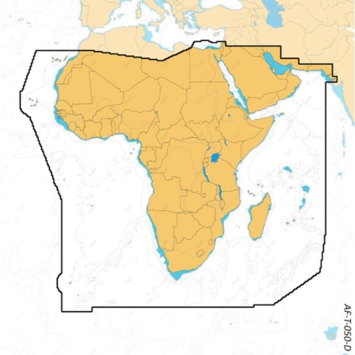
Map Discover - X Africa & Arabic Sea

Stock Status: In stock
Note: Only quantities are available in stock. Currently out of stock. Please request a quote.
Description
C-MAP® DISCOVER™ X: The Future of Marine Navigation
Experience the cutting-edge X generation of C-MAP charts with C-MAP® DISCOVER™ X, exclusively designed for Simrad® NSX. This advanced charting system offers a fresh, dynamic experience, combining the latest vector data with best-in-class Day and Night modes and the most detailed High-Resolution Bathymetry available. With the all-new Map Inspector Tool, you can effortlessly access the information you need. DISCOVER X also provides seamless integration with the Simrad® Companion App, ensuring a fully connected and intuitive navigation experience.
Key Features
-
Next Generation Charts
Enjoy a fresh, dynamic chart experience that makes navigation clearer than ever before. Optimized data and new chart presentation ensure you always see the information you need without clutter, no matter the zoom level. Navigate confidently with best-in-class day & night modes, designed to keep you safe in any weather or time of day. -
Smooth App Integration
Connect seamlessly to the Simrad® Companion App for a fully synchronized experience. Plan trips, review tracks, and plot way points on the app, then sync directly to your NSX. The app also provides easy access to NSX manuals, “How To” guides, and more.
The Best of C-MAP
-
Full-Featured Vector Charts
Navigate with precision using accurate, up-to-date vector chart details sourced from official hydrographic offices. -
High-Resolution Bathymetry
Identify shallows, drop-offs, ledges, holes, and humps with accurate contours down to 1-foot, enhanced by the best of C-MAP HRB data. -
Subscription-Free Auto routing
Automatically plot the safest, most efficient route based on detailed chart data and your vessel’s specifications, with no subscription required. -
Custom Depth Shading
Set a clear visual safety depth or create custom shading to tailor your navigation and fishing experience. -
New Map Inspector Tool
Quickly access the information you need with a simple touch of the screen, streamlining your navigation process. -
Tides & Currents
Plan your day with detailed projections of water levels and tidal data, ensuring you are prepared for any conditions on the water. -
Detailed Marina Port Plans
Dock confidently in unfamiliar ports with precise layouts of thousands of marinas, including slip spaces, restricted areas, and other vital navigation details. -
Harbor & Approach Details
Approach harbors and inlets with an unprecedented level of detail, providing peace of mind during the final stages of your journey.
General Specification
No specifications available.
