


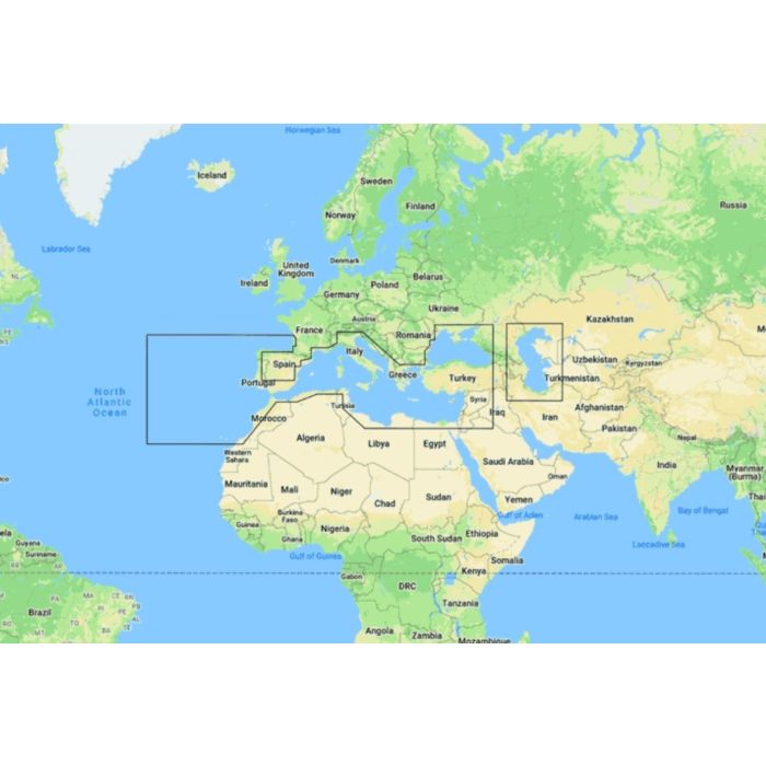
Map Discover - Southern Europe

Stock Status: Out of stock

Note: Only quantities are available in stock. Currently out of stock. Please request a quote.
Description
C-MAP® DISCOVER™: Your Essential Navigation Companion
Whether you're cruising, fishing, or sailing, C-MAP® DISCOVER™ provides the essential navigation tools and features you need to make the most of your time on the water. Offering a range of coverage options, DISCOVER™ integrates the best of C-MAP High-Res Bathymetry, including Genesis® data, with core features like full-featured Vector Charts, Custom Depth Shading, Tides & Currents, and subscription-free Easy Routing™. With 12 months of free online updates included, DISCOVER™ is compatible with Lowrance, Simrad, and B&G chartplotters.
Key Features
-
Full-Featured Vector Charts
Simplify navigation with accurate, up-to-date vector chart details sourced from official Hydrographic Offices, providing you with reliable and clear guidance. -
High-Resolution Bathymetry
Identify key underwater features such as shallow areas, drop-offs, ledges, holes, and humps with the integrated HRB layer, now enhanced with compiled Genesis® data for greater accuracy. -
Custom Depth Shading
Customize your chart view by setting a clear safety depth, maintaining a traditional paper-like view, or creating your own shading to focus on specific depths. -
Easy Routing™
Automatically plot the shortest and safest route based on detailed chart data and your vessel's specifications, with no subscription required, ensuring a hassle-free navigation experience. -
Tides & Currents
Get accurate projections of water levels and tidal directions to help you plan your cruising, angling, or sailing activities with confidence. -
Detailed Marina Port Plans
Dock effortlessly in unfamiliar ports with precise layouts of thousands of marinas, including slip spaces, restricted areas, and other essential navigation information. -
Harbor & Approach Details
Gain unprecedented detail when approaching harbors and inlets, allowing you to navigate these critical areas with confidence and ease.
General Specification
No specifications available.
